Weather Alert in Idaho
Flash Flood Watch issued August 25 at 11:41AM MDT until August 28 at 12:00AM MDT by NWS Boise ID
AREAS AFFECTED: West Central Mountains; Lower Treasure Valley; Boise Mountains; Upper Treasure Valley; Southwest Highlands; Western Magic Valley; Camas Prairie; Owyhee Mountains; Southern Twin Falls County; Upper Weiser River; Harney County; Baker County; Malheur County; Oregon Lower Treasure Valley
DESCRIPTION: A surge of deep monsoonal moisture combined with a slow-moving upper trough will bring periods of heavy showers and thunderstorms across the region. This airmass contains anomalously high moisture content, supporting the potential for excessive rainfall. Flash flooding will be possible, especially in steep terrain, narrow canyons, and near recent burn scars where soils are less able to absorb rainfall. The greatest risk will be Tuesday afternoon through Wednesday evening as repeated rounds of storms move through. * WHAT...Flash flooding caused by excessive rainfall is possible. * WHERE...Portions of Idaho, including the following areas, Boise Mountains, Camas Prairie, Lower Treasure Valley, Owyhee Mountains, Southern Twin Falls County, Southwest Highlands, Upper Treasure Valley, Upper Weiser River, West Central Mountains and Western Magic Valley. Portions of Oregon, including the following areas, Baker County, Harney County, Malheur County and Oregon Lower Treasure Valley. * WHEN...From Tuesday afternoon through Wednesday evening. * IMPACTS...Heavy rainfall could trigger flash flooding or debris flows in and near recent wildfire burn scars. In addition urban street flooding is possible with the stronger storms. * ADDITIONAL DETAILS... - https://www.weather.gov/safety/flood
INSTRUCTION: You should monitor later forecasts and be prepared to take action should Flash Flood Warnings be issued. Local emergency services are monitoring the situation and will issue a public statement as conditions warrant. PLAN NOW so you will know what to do in an emergency. Keep informed by listening to local radio and television for statements and possible warnings. Follow the advice of public safety officials.
Want more detail? Get the Complete 7 Day and Night Detailed Forecast!
Current U.S. National Radar--Current
The Current National Weather Radar is shown below with a UTC Time (subtract 5 hours from UTC to get Eastern Time).

National Weather Forecast--Current
The Current National Weather Forecast and National Weather Map are shown below.

National Weather Forecast for Tomorrow
Tomorrow National Weather Forecast and Tomorrow National Weather Map are show below.

North America Water Vapor (Moisture)
This map shows recent moisture content over North America. Bright and colored areas show high moisture (ie, clouds); brown indicates very little moisture present; black indicates no moisture.

Weather Topic: What is Condensation?
Home - Education - Precipitation - Condensation
 Next Topic: Contrails
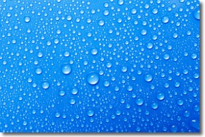
Condensation is the process which creates clouds, and therefore
it is a crucial process in the water cycle.
Condensation is the change of matter from a state of gas into a state of liquid,
and it happens because water molecules release heat into the atmosphere and
become organized into a more closely packed structure, what we might see as
water droplets.
Water is always present in the air around us as a vapor, but it's too small for
us to see. When water undergoes the process of condensation it becomes organized
into visible water droplets. You've probably seen condensation happen before on the
surface of a cold drink!
Next Topic: Contrails
Weather Topic: What are Cumulonimbus Clouds?
Home - Education - Cloud Types - Cumulonimbus Clouds
 Next Topic: Cumulus Clouds
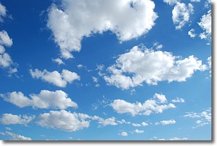
The final form taken by a growing cumulus cloud is the
cumulonimbus cloud, which is very tall and dense.
The tower of a cumulonimbus cloud can soar 23 km into the atmosphere, although
most commonly they stop growing at an altitude of 6 km.
Even small cumulonimbus clouds appear very large in comparison to other cloud types.
They can signal the approach of stormy weather, such as thunderstorms or blizzards.
Next Topic: Cumulus Clouds
Current conditions powered by WeatherAPI.com


